
Earth observation,
turned into decisions.
eNetra finds change from orbit, puts it in front of the officer responsible for that patch of ground, and keeps the evidence. Forests, transmission corridors, mines and land surveying — the same loop, tuned to each.
As seen on



Products
Four systems, one operating method.
Each one is a separate product for a specific kind of organisation, with its own models, its own data and its own deployment. They share a common operating method.
What they have in common
What the four systems have in common.
Change detection identifies where something has altered. It does not establish who is accountable for that area, whether it was inspected, what was found, or whether the matter remains open. Each eNetra system carries that process through to closure, using components tuned to its own domain.
The right sensor for the question
Sentinel optical and SAR, sub-metre commercial imagery, drone capture — each product is built around the sources that can resolve its problem, at the revisit that problem needs. None of them standardises on one feed and hopes.
Optical + SARDetection tuned per domain
A crown detector for a transmission corridor and a land-cover classifier for a forest division are different models with different failure modes. Each is tuned and scored against reviewed ground truth from its own domain.
Domain-specificAlerts with an owner
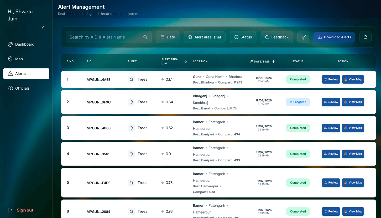
Every detection is resolved against a jurisdiction and pushed to the person accountable for it. An alert nobody owns is a statistic; an alert with a name on it gets closed.
JurisdictionGround truth from the field
The same verification pattern — navigate, photograph, record, submit — is how every one of them ends, offline where there is no signal. Each ships its own field client, built for the officers who will use it.
Offline-firstAn evidence trail, not a dashboard
Imagery source, detection date, officer, position and every status change are retained against the case. What was decided, and on what basis, survives the people who decided it.
Audit trailDeployed where the data has to live
Managed cloud or the department's own infrastructure, with role-scoped access down to the smallest administrative unit. Sovereignty requirements are a deployment decision, not a blocker.
Self-hostedIn the field
Verification in the field.
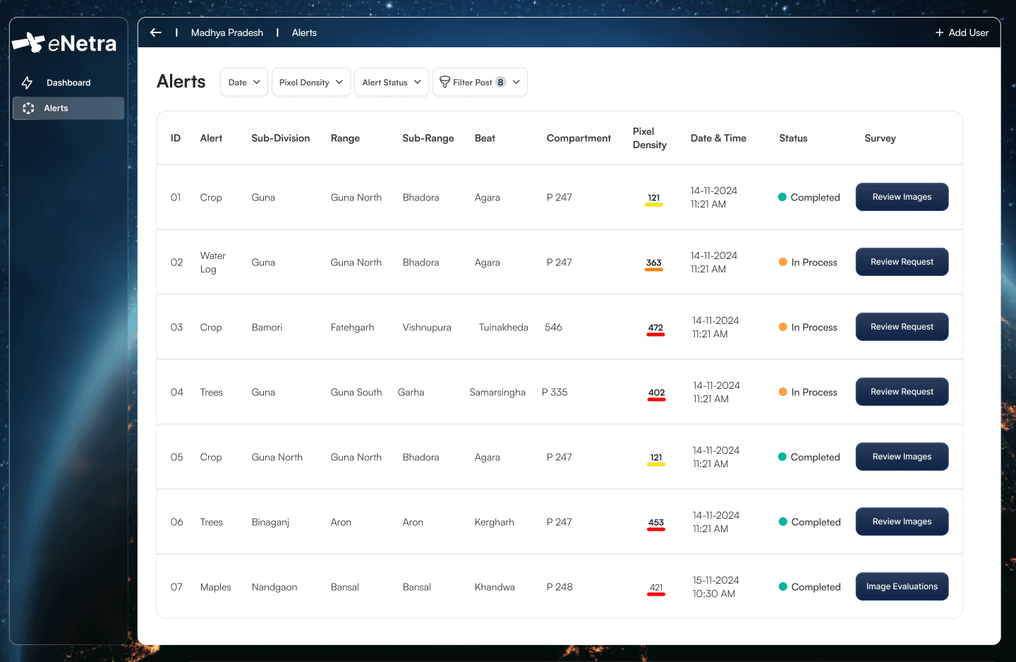
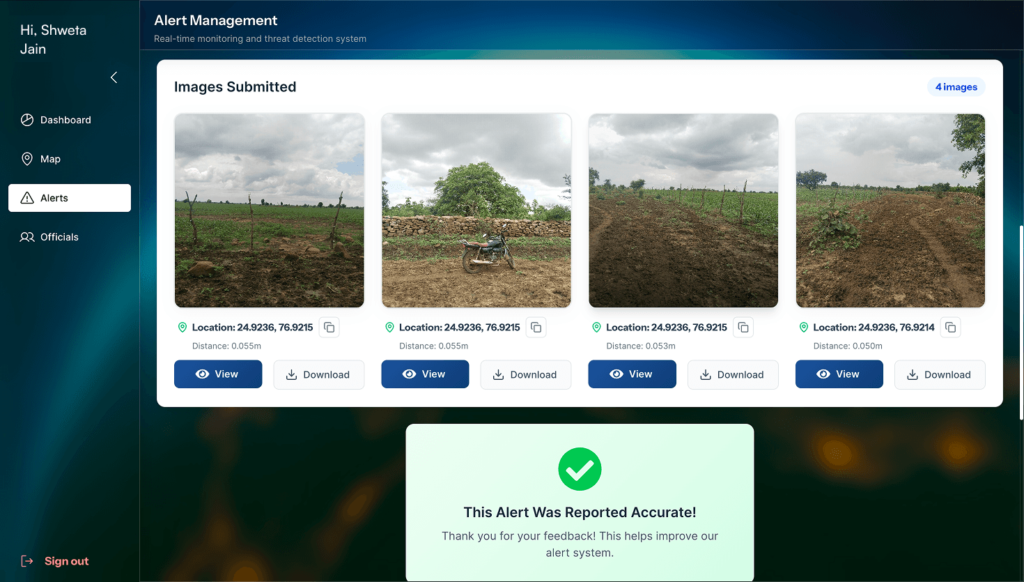
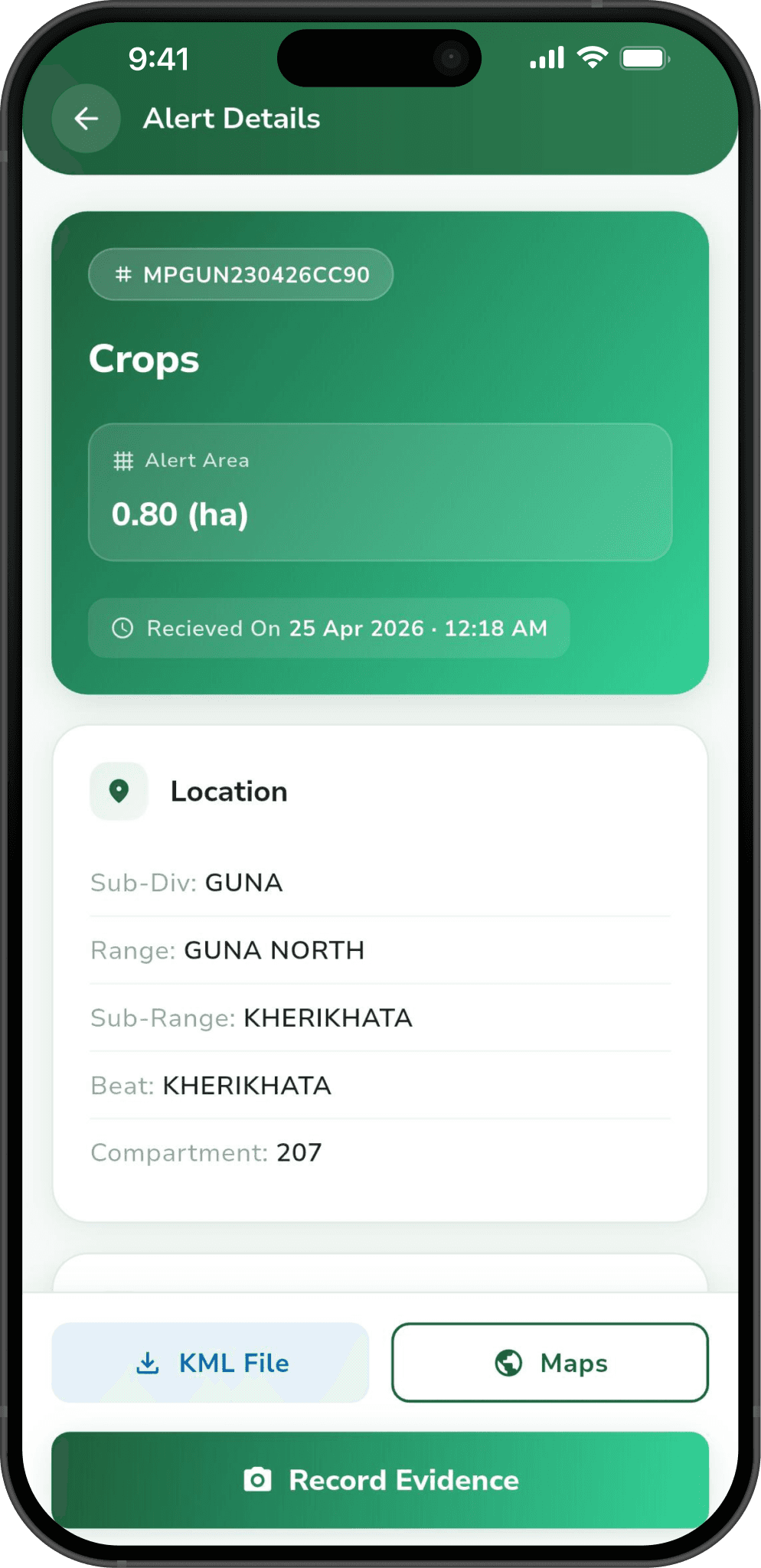
Every eNetra system concludes in the field: a named officer attends the coordinates and records the observed condition on a mobile device.
- Routed by jurisdiction
Beat, range and division boundaries determine which officer receives the alert.
- Structured evidence capture
Geo-tagged photographs, a voice note and structured remarks, stamped with position and time.
- Works without signal
Assignments and basemaps cache on the device; submissions queue and sync when the officer is back in range.
- Closure on review of evidence
A case is closed by review of the evidence. Cases are not closed automatically by age.
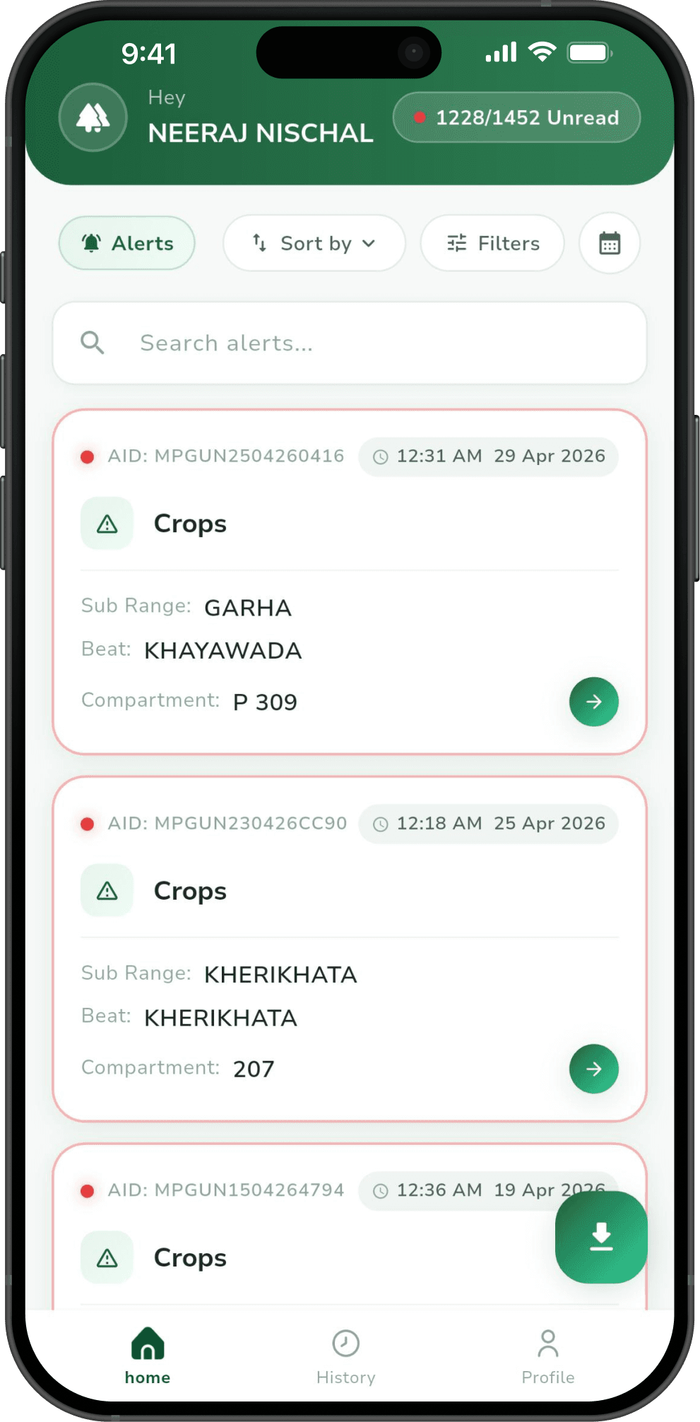
This system empowers forest staff to monitor and take immediate action. Alert generation and feedback process includes initial alert generation using Google Earth Engine to compare satellite images of three dates, identify changes in crops, wasteland, construction etc.
Divisional Forest Officer, Guna
Coverage
Independent press coverage.
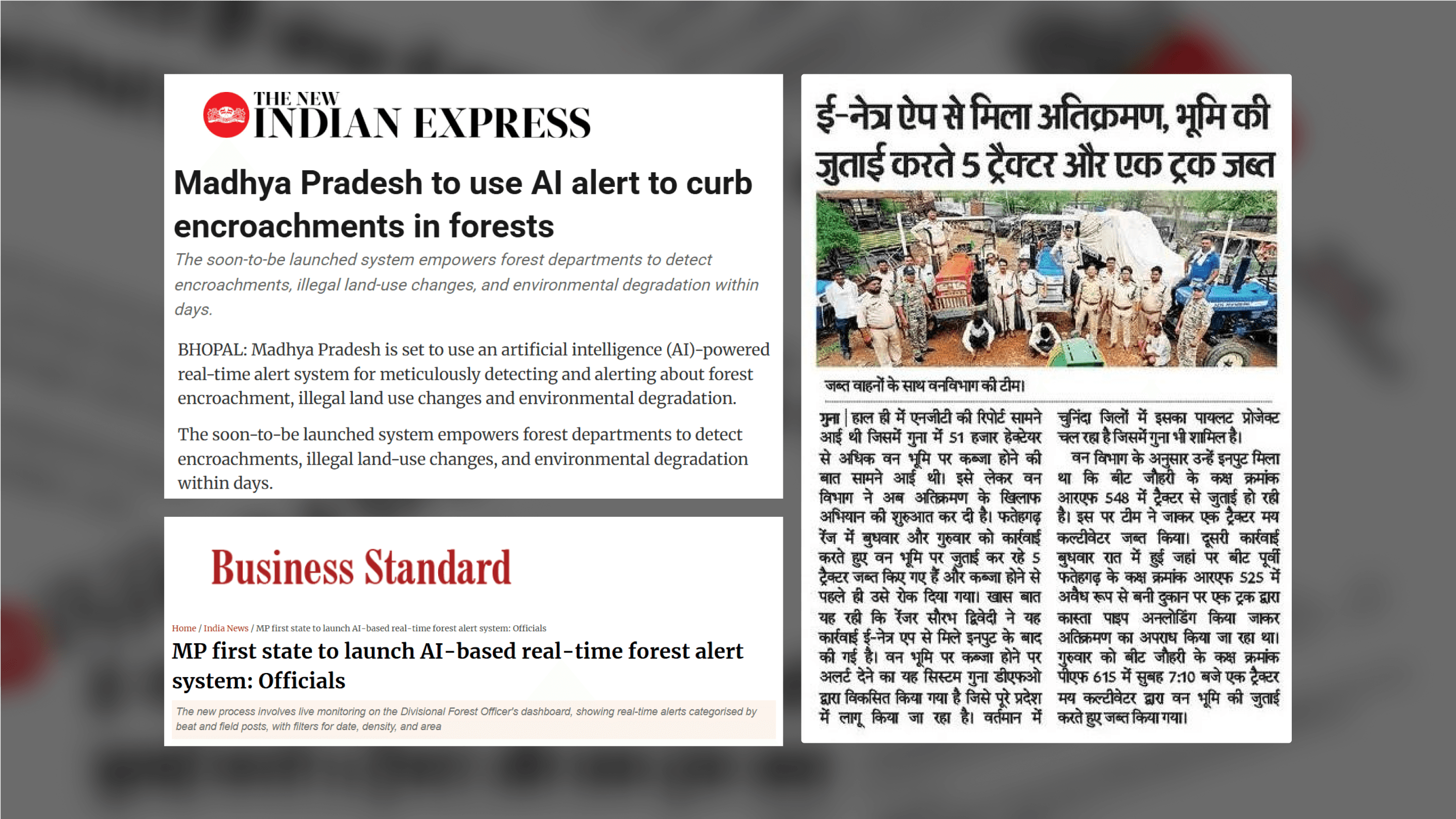
eNetra’s forest monitoring deployment has been covered by The Times of India, The Indian Express and The Week.
Enquiries
Request a demonstration.
A working demonstration over your own area of interest is usually the fastest way to find out whether this is useful to you.