
Field notes
Technical notes on Earth-observation monitoring.
Written for organisations planning or operating a monitoring programme: how the measurements are derived, how sensors are selected, what governs the cost of a deployment, and the constraints that determine whether one succeeds.
 TransmissionDeriving tree height from shadow geometryA satellite observes a tree from above and cannot measure it vertically. Height must therefore be derived, and shadow geometry is a measurement of the individual tree rather than an inference from a growth equation.8 min
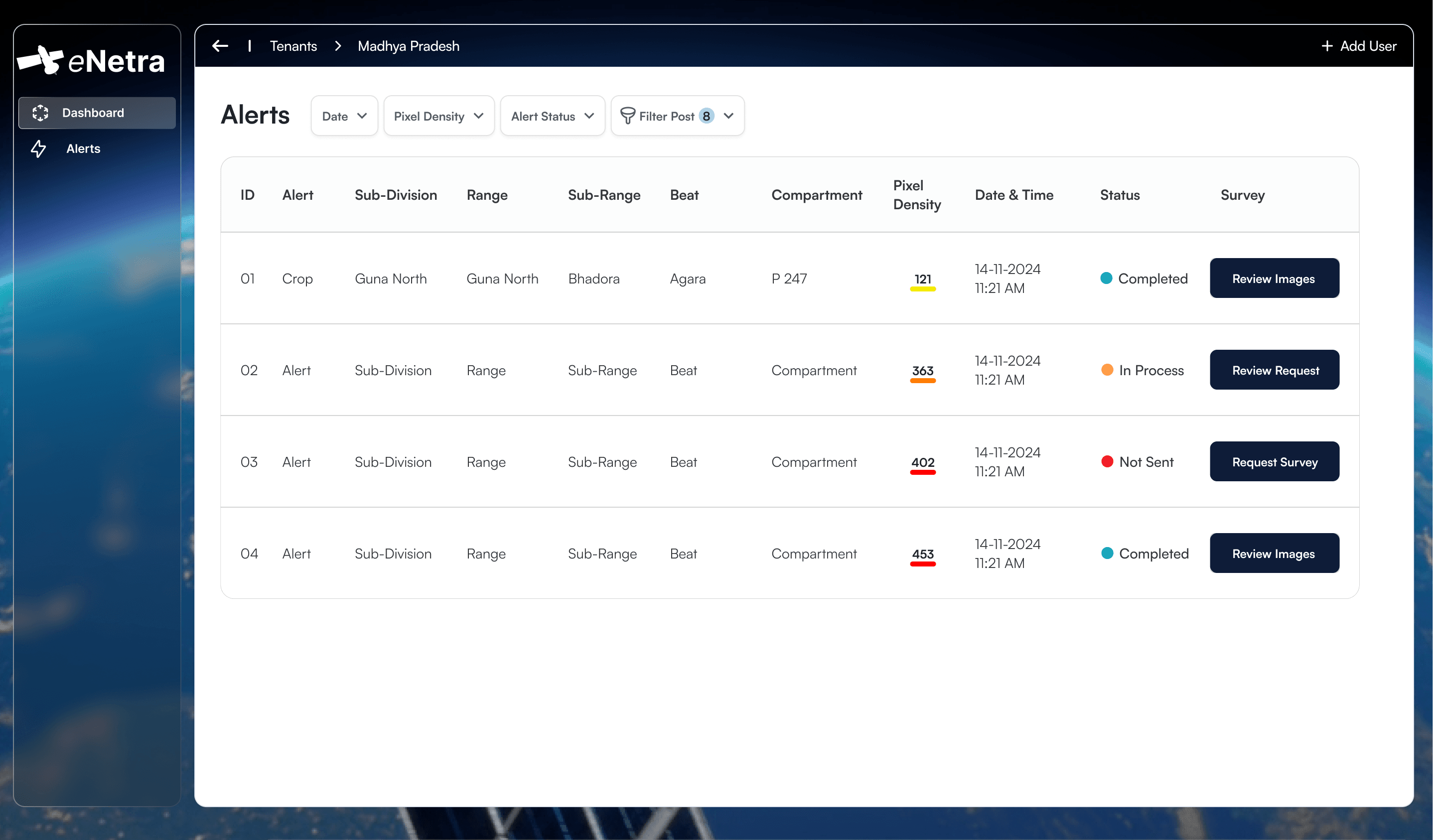 MethodAccountability in detection workflowsMost monitoring systems terminate at detection. The interval between a change polygon and a closed case is where the operational value lies, and it is primarily an organisational problem rather than a remote-sensing one.6 min
 ForestOptical and SAR imagery under monsoon conditionsOptical imagery is more tractable and more legible. For four months of the year across much of India it also records cloud. Sensor selection is determined by when the answer is required.7 min
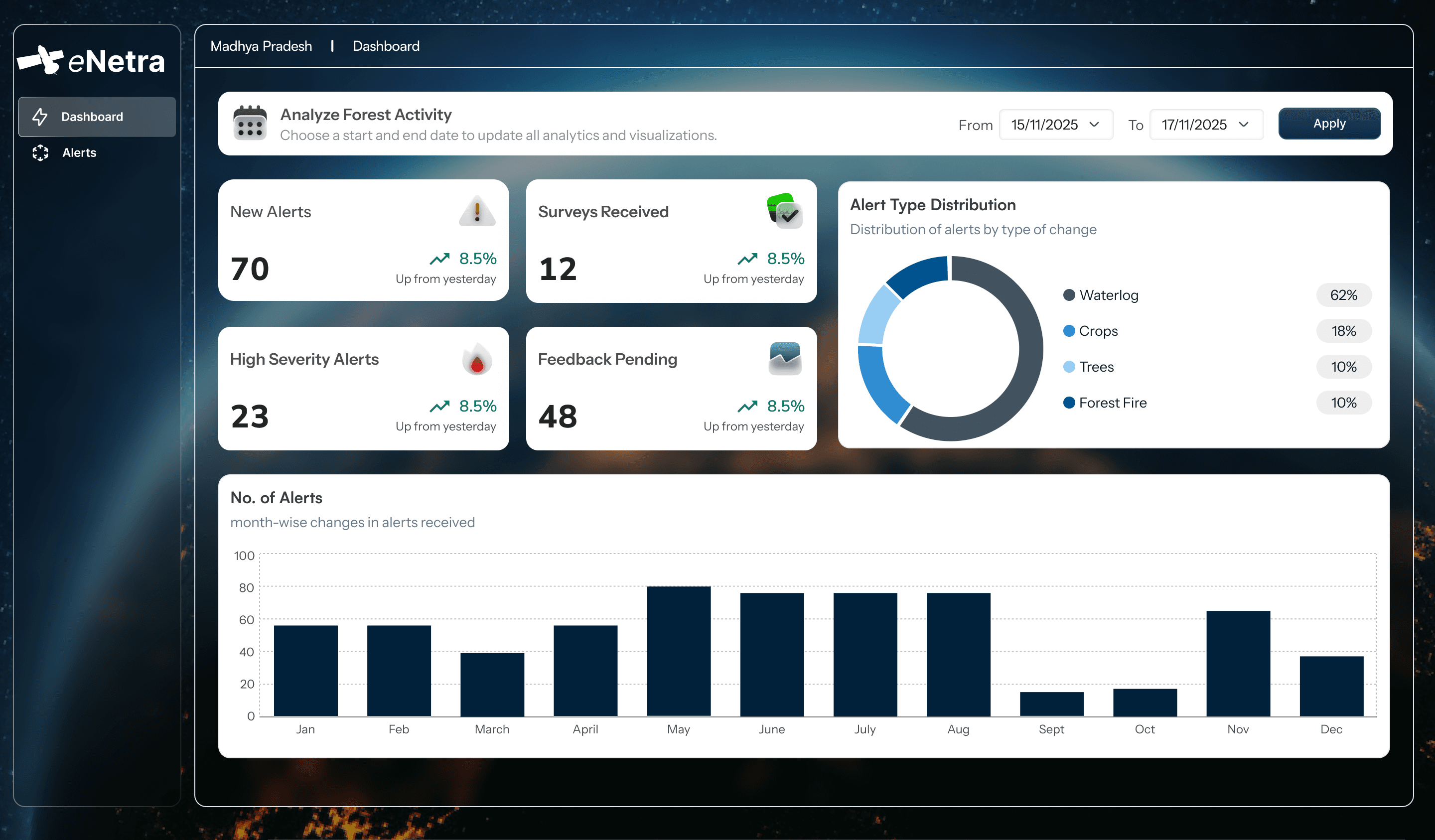 MethodDomain-specific detection modelsA crown detector for a transmission corridor and a land-cover classifier for a forest division are different models with different failure modes. Applying one across both is a common cause of undetected degradation.7 min
Direct enquiries.
Describe the area and the question. We will confirm which of these applies and what a deployment would involve.