
Forest
Optical and SAR imagery under monsoon conditions
Optical imagery is more tractable and more legible. For four months of the year across much of India it also records cloud. Sensor selection is determined by when the answer is required.
Every sensor conversation starts with resolution and should start with revisit under real conditions. A ten-metre pixel you can see every five days beats a half-metre pixel you get twice a year, for almost every monitoring question that involves catching something while it is still happening.
What optical gives you
Optical multispectral is the workhorse, and deservedly. The spectral bands map onto vegetation condition in ways that are physically meaningful and decades-validated. Land cover classification, canopy condition, burn scars, water — the methods are mature, the literature is deep, and the output is legible to a non-specialist, which matters more than technical people expect. A range officer can look at a false-colour composite and see the clearing.
It has one problem, and in a monsoon geography it is a large one: it cannot see through cloud. Not partially, not with effort. During the season when illegal felling is easiest and access is worst, optical coverage collapses to whatever gaps happen to open.
What radar gives you
Synthetic aperture radar is its own illumination source and its wavelengths pass through cloud. It images at night. Its revisit is unaffected by weather, which means it is the only thing that gives you a continuous record across the months where the optical record has holes.
The cost is interpretability. SAR measures backscatter — surface roughness and structure and moisture — not reflectance. It does not look like a photograph and it should not be shown to a field officer as though it were. Speckle is inherent. Terrain distorts geometry in ways that need correcting before anything is comparable. Soil moisture after rain changes the signal without anything having been cut.
The combination in practice
Use SAR to know when something changed and optical to know what it was.
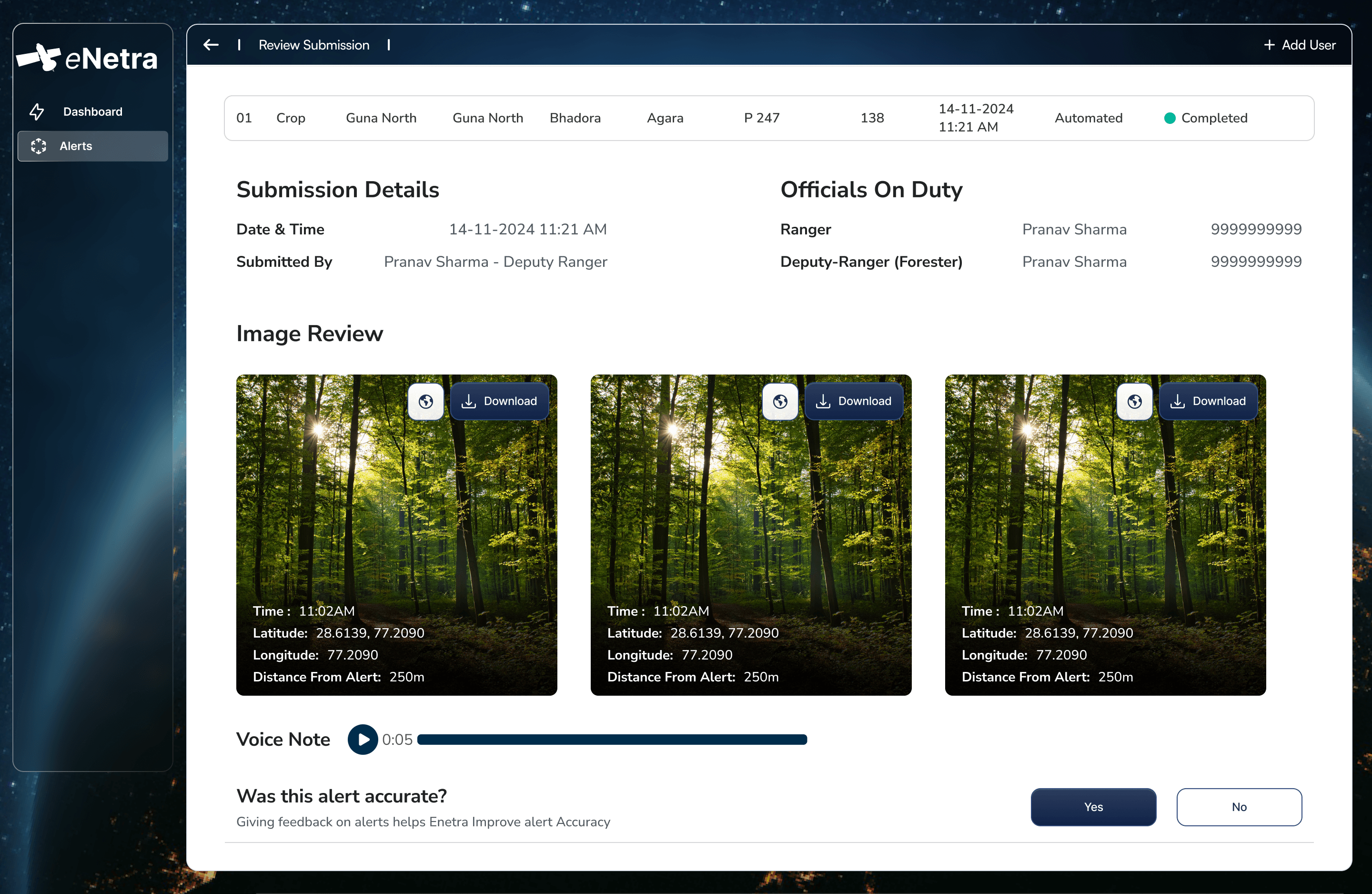
Radar maintains the continuous timeline through cloud and flags a disturbance the week it happens. The next clear optical scene — days or weeks later — characterises it: felling, or a landslip, or a flooded patch, or nothing at all. The alert is timely because of radar and legible because of optical, and neither sensor is asked to do the job it is bad at.
This also fixes the credibility problem. A SAR-only alert is difficult to defend to someone who has to act on it. The same alert with a subsequent optical scene attached is a picture of a clearing.
Choosing, in practice
- If the answer can wait for the next clear sky, optical alone is simpler, cheaper and easier to defend.
- If a four-month blind window is unacceptable — because that is exactly when the activity happens — radar is not an enhancement, it is the requirement.
- If the site is small and the question is precise, tasked high-resolution or drone capture will beat both, at a cost that only makes sense over a small area.
Standardising on a single data source is itself a decision, and it is most often taken by default rather than deliberately.
More reading
All notesTransmissionDeriving tree height from shadow geometryA satellite observes a tree from above and cannot measure it vertically. Height must therefore be derived, and shadow geometry is a measurement of the individual tree rather than an inference from a growth equation.8 min MethodAccountability in detection workflowsMost monitoring systems terminate at detection. The interval between a change polygon and a closed case is where the operational value lies, and it is primarily an organisational problem rather than a remote-sensing one.6 min
 MethodDomain-specific detection modelsA crown detector for a transmission corridor and a land-cover classifier for a forest division are different models with different failure modes. Applying one across both is a common cause of undetected degradation.7 min