
Surveying
Evidentiary standards in property survey data
Municipal survey data is collected once and relied upon for a decade. Whether a record survives a dispute is determined almost entirely at the moment of capture.
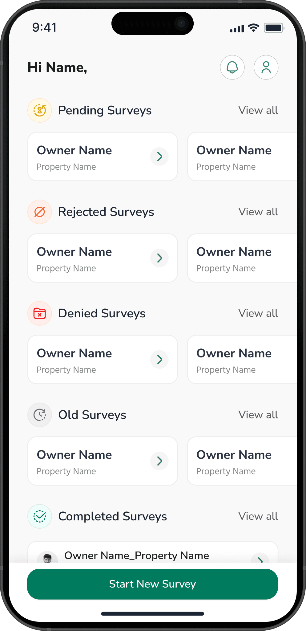
A property survey is not really a data-collection exercise. It is the creation of a record that will be relied on for tax assessment, service delivery and planning long after everyone involved in collecting it has moved on — and that will, in due course, be disputed by a party with reason to.
That reframing changes what the field application should be built to do.
The record has to be reconstructable
Two years later the question will not be what does the record say. It will be how do you know. A row in a table cannot answer that. A row with a geo-tagged photograph, a timestamp the surveyor could not edit, the device it came from and the name of the person who captured it can.
So the capture design follows from the dispute, not from the form. Position, time and device come from the device. Photographs are geo-tagged at the moment of capture rather than attached later from a gallery — that single distinction is what separates a photograph of the property from a photograph.
Address is the hardest field, and it is not a text box
In most Indian municipalities the addressable unit is not a street number. It is a ward, a mohalla, a locality name and a colloquial landmark, several of which are spelled more than one way and one of which changed last year.
A free-text address field produces a dataset that cannot be joined to anything. What works is capturing the structured parts against the authority's own hierarchy — ward, then mohalla, then property — and letting free text carry only what genuinely does not fit. The coordinate is the primary key. The address is a label for humans.
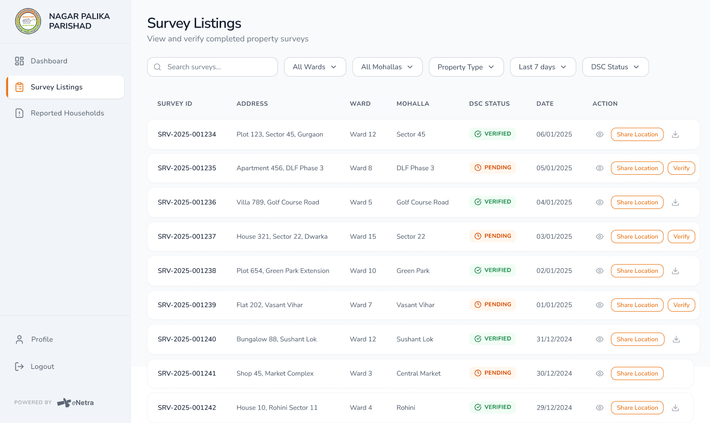
Verification is a state, not a checkbox
Surveys collect two very different things: what the surveyor observed, and what has since been checked. Collapsing them into one field loses the distinction permanently, and it is the distinction the whole record depends on.
- Captured — a surveyor visited and recorded what they found.
- Reported — something about the record is contested or anomalous and it is flagged rather than corrected without record.
- Verified — a second pass, by someone with the authority to say so, has confirmed it.
Keeping reported as a first-class state is what stops the awkward records from being silently smoothed out. Those are the ones that end up in front of a tribunal.
Assume no signal, and assume the cheap phone
Surveyors work through dense settlements where connectivity is unreliable and on devices that are several generations old. Capture must complete and persist locally, sync must be visible and resumable, and nothing may be lost because an app was closed mid-form.
A surveyor who loses a morning's work once will spend the rest of the programme keeping a paper backup, and the digital record becomes a transcription of paper — which is the outcome the whole exercise was meant to avoid.
Two years on, the question is not what the record states but how it is substantiated. Only the capture moment can answer that.
More reading
All notes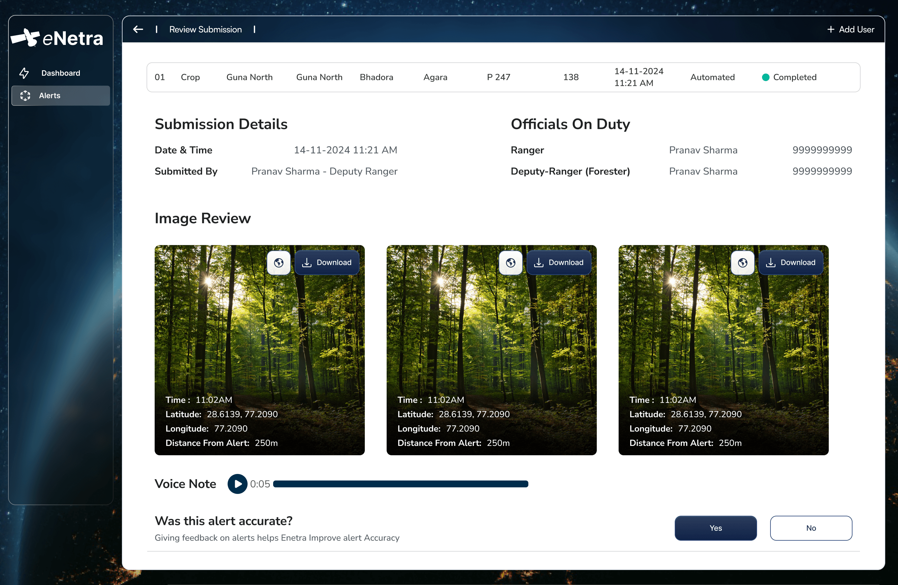 TransmissionDeriving tree height from shadow geometryA satellite observes a tree from above and cannot measure it vertically. Height must therefore be derived, and shadow geometry is a measurement of the individual tree rather than an inference from a growth equation.8 min
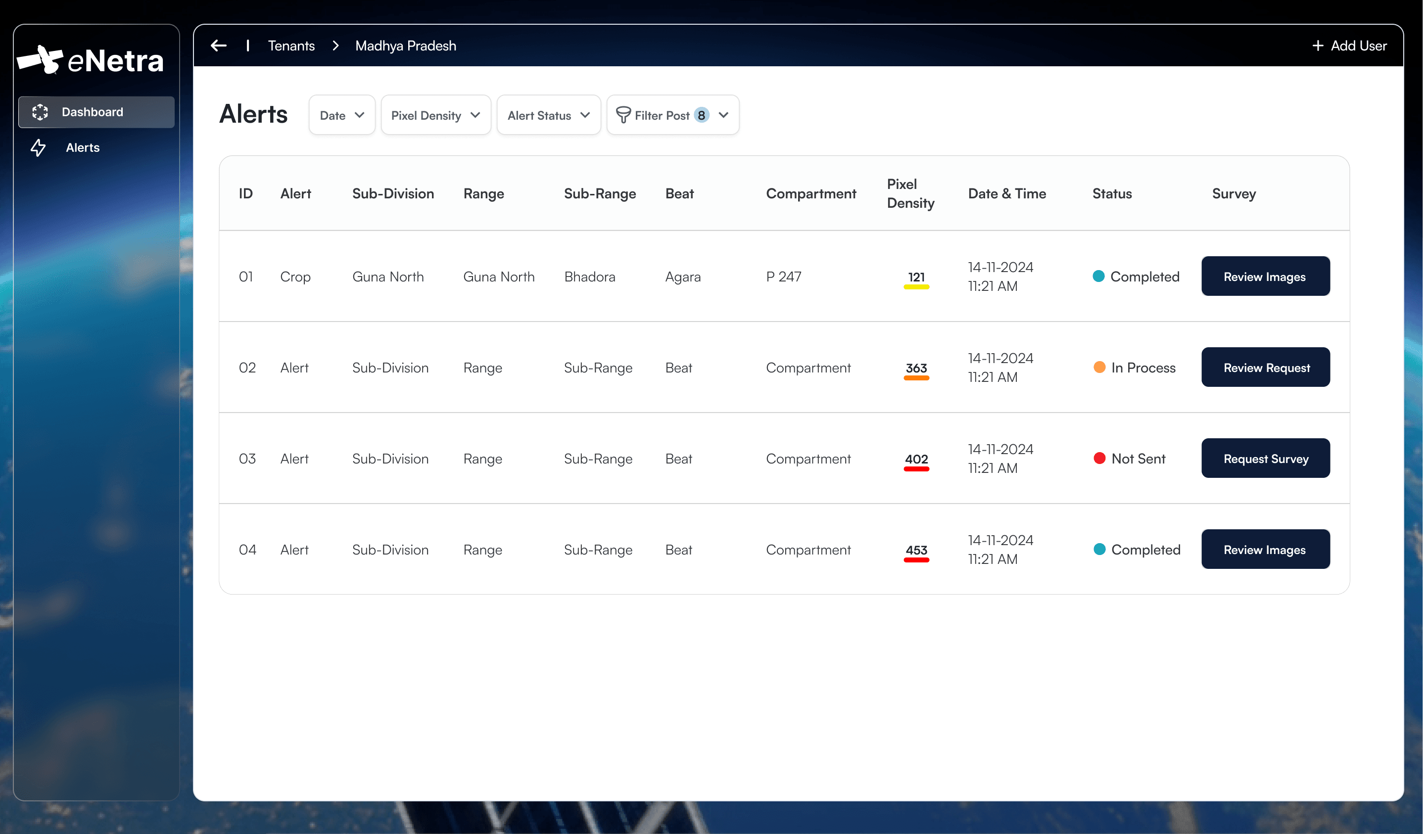 MethodAccountability in detection workflowsMost monitoring systems terminate at detection. The interval between a change polygon and a closed case is where the operational value lies, and it is primarily an organisational problem rather than a remote-sensing one.6 min
 ForestOptical and SAR imagery under monsoon conditionsOptical imagery is more tractable and more legible. For four months of the year across much of India it also records cloud. Sensor selection is determined by when the answer is required.7 min