
Method
Cost drivers in a monitoring programme
Imagery is rarely the largest line item. Three factors govern the cost of a monitoring programme: the area processed, the required revisit interval, and how much of the post-detection workflow is in scope.
The honest answer to "what does satellite monitoring cost" is that the range is very wide, and anyone quoting a figure before understanding three specific things is guessing. Those three account for most of the difference between a modest programme and one that costs many times as much.
1. Area, and how much of it is interesting
Cost scales with the area you have to process, which is usually much larger than the area of interest. A corridor is a thin ribbon across a large scene; you still pay to acquire and handle the scene.
This is why the first useful exercise is drawing the boundary properly. Organisations often arrive with a state-wide ambition and leave with three divisions, because the scoping showed that is where the incidents occur — and a programme that works on three divisions extends far more cheaply than one that half-works everywhere.
2. How often you need the answer
Revisit is the single biggest multiplier, and it is a question about the speed of the thing you are watching, not about how fresh you would like the data to feel.
- Encroachment develops over weeks. Open optical at its native revisit is usually sufficient and is the cheapest thing available.
- Vegetation growth toward a conductor develops over a season. Monthly or quarterly is a real answer, and the cost sits in the analysis rather than the imagery.
- Active extraction can change a face in days. That needs tasked acquisition or drone capture and is a different order of cost.
Asking for daily where weekly is sufficient can multiply the cost of a programme without changing a single decision anybody makes.
3. How much of the workflow you are buying
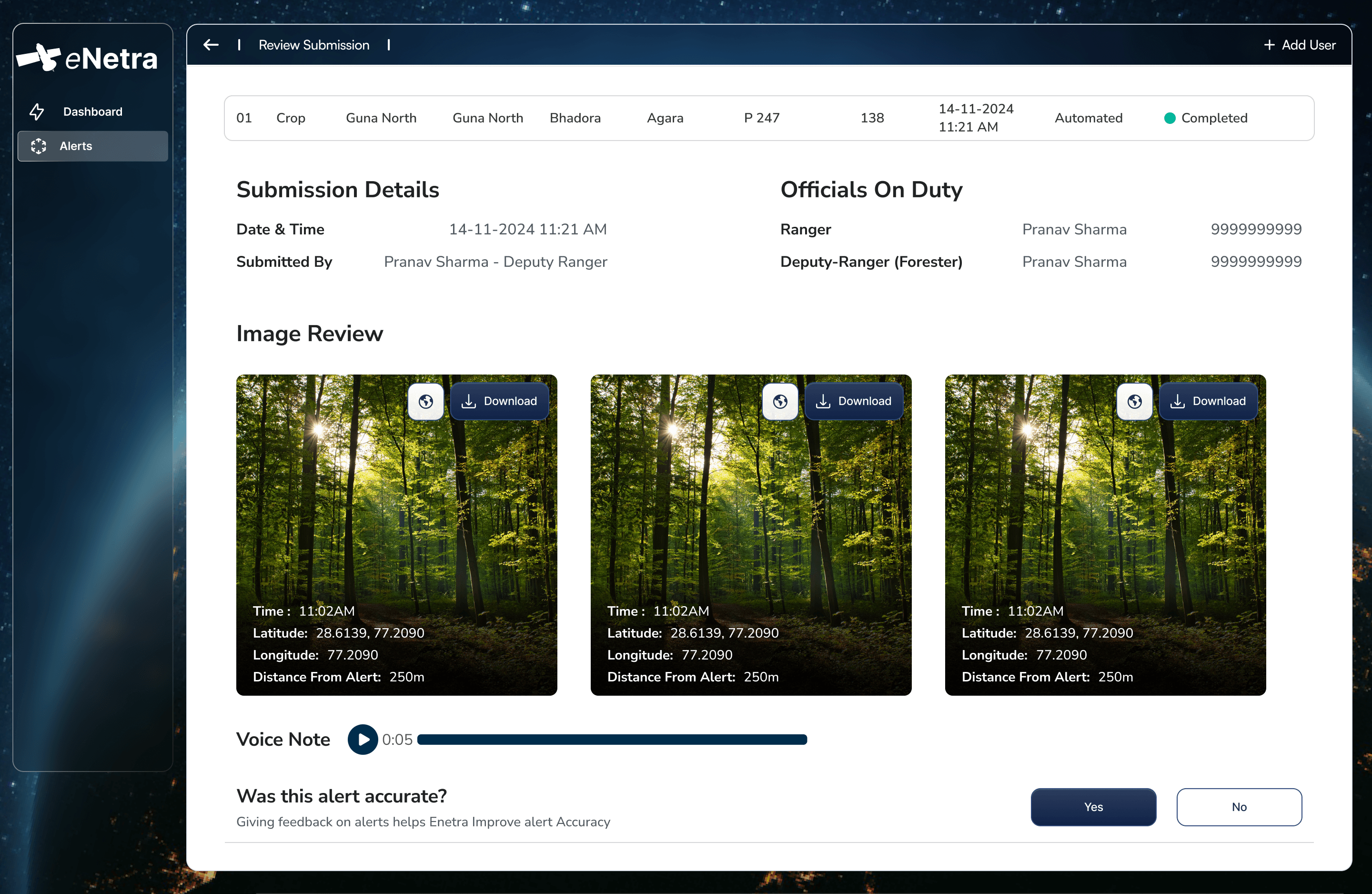
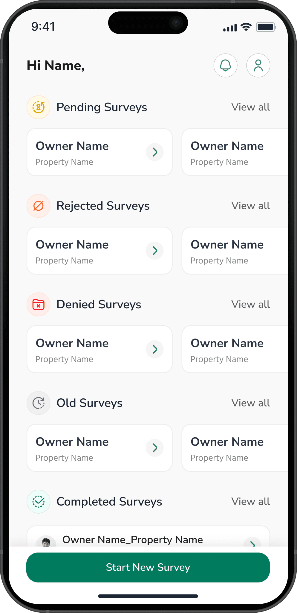
This is the line that gets underestimated. A detection feed is one thing. A system where detections are routed by jurisdiction, verified in the field, closed against evidence and defensible a year later is a different scope — and it is the scope that produces outcomes rather than a longer to-do list.
Integration is where the hours go: existing boundary and asset data in whatever state it is in, an authentication regime, a records export the security team will approve, and often deployment on infrastructure you control rather than ours.
What is usually smaller than expected
Open optical data is free. Compute for a bounded area is modest and predictable. The models exist. If a proposal is dominated by imagery cost, either the revisit specification is doing something it does not need to do, or high-resolution tasking has been specified where it is not required.
What is usually larger than expected
Ground truth and review. Somebody has to look at detections and say whether they were right, continuously, or the system's accuracy becomes an article of faith within a year. This is the recurring cost that separates a programme that is trusted from one that is merely running, and it is almost never in the first budget.
What we would suggest instead of a quote
Take one division, one corridor section or one lease — whichever has the highest cost of failure — and run it properly for a season, including the field workflow and the review. Measure it against what the current process costs in patrol days, travel and missed incidents.
That produces a real number for extending it, derived from evidence rather than from a proposal. It is also the only way to find out whether the organisation will use the thing, which is the risk that ends these programmes.
A firm price quoted before area, revisit interval and workflow scope are established is not an estimate.
More reading
All notesTransmissionDeriving tree height from shadow geometryA satellite observes a tree from above and cannot measure it vertically. Height must therefore be derived, and shadow geometry is a measurement of the individual tree rather than an inference from a growth equation.8 min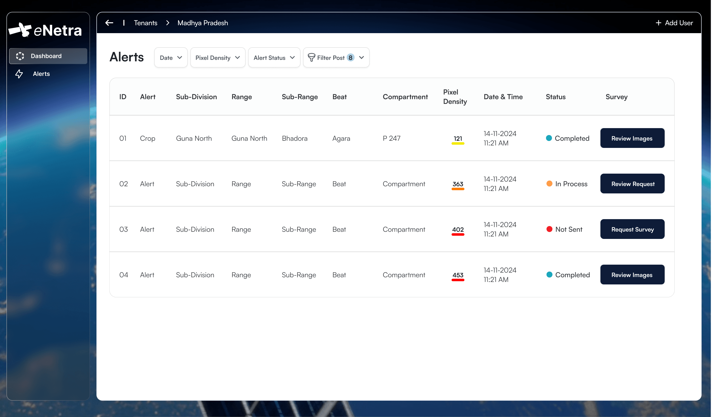 MethodAccountability in detection workflowsMost monitoring systems terminate at detection. The interval between a change polygon and a closed case is where the operational value lies, and it is primarily an organisational problem rather than a remote-sensing one.6 min
 ForestOptical and SAR imagery under monsoon conditionsOptical imagery is more tractable and more legible. For four months of the year across much of India it also records cloud. Sensor selection is determined by when the answer is required.7 min